MAP: the Miami Affordability Project
Abstract
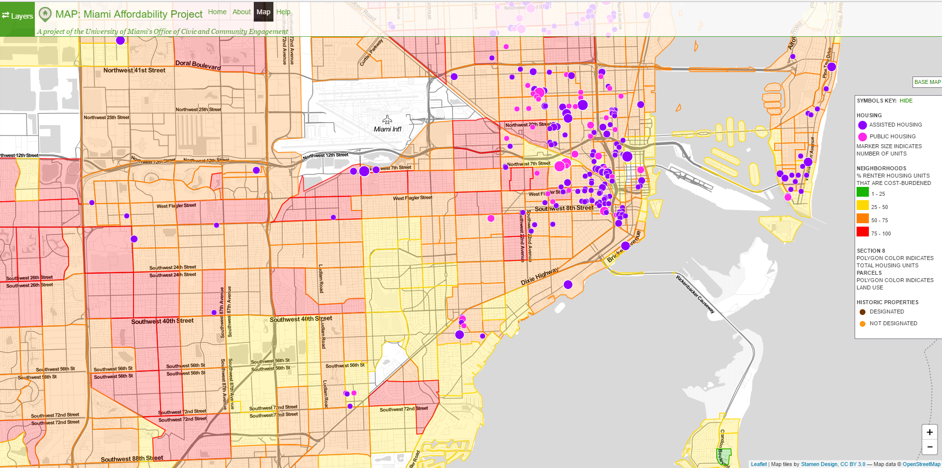
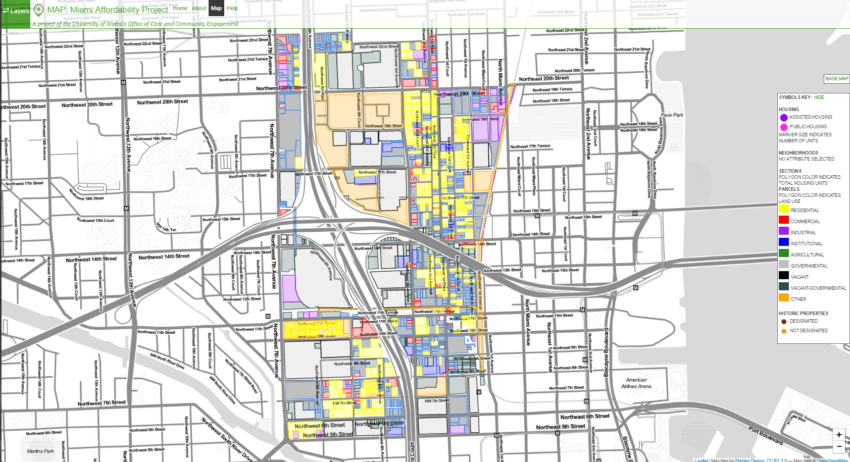
MAP is a free and publicly accessible cutting-edge mapping technology tool for visualizing neighborhood-level housing market dynamics and developing data-driven strategies for housing, community development, and historic preservation. Developed by the University of Miami’s Office of Civic and Community Engagement (CCE) in collaboration with the Center for Computational Science, the goal of MAP is to increase community capacity to engage with development. It serves as a research tool for planners, developers, community organizers, scholars, nonprofits and anyone else interested in understanding neighborhoods and enhancing opportunities for community-based planning. MAP combines data from local, state, and federal resources to show the geography of cost burden, the location of existing subsidized units, tax credit programs that financed developments, and vacant and publicly owned land. MAP fosters collaborative planning and provides innovative tools for public engagement to promote greater equity and inclusion in the community development process.MAP is a first-of-its-kind, free, and publicly accessible cutting-edge mapping technology tool for visualizing neighborhood-level housing market dynamics and developing data-driven strategies for housing, community development, and historic preservation. Developed by the University of Miami’s Office of Civic and Community Engagement (CCE) in collaboration with the Center for Computational Science and the Center for Interactive Media, with funding from JP Morgan Chase and the Jessie Ball duPont Fund, the goal of MAP is to increase community capacity to engage with development. It serves as a research tool for planners, developers, community organizers, scholars, nonprofits, and anyone else interested in understanding neighborhoods and enhancing opportunities for community-based planning. MAP combines data from local, state, and federal resources to show the geography of cost burden, the location of existing subsidized units, tax credit programs that financed developments, vacant and publicly owned land, and location of Section 8 voucher programs. It contains over 100 data filters on housing, demographics, cost burden, and property data to facilitate analysis of supply and demand for housing, funding programs, land use, and affordability preservation risks.

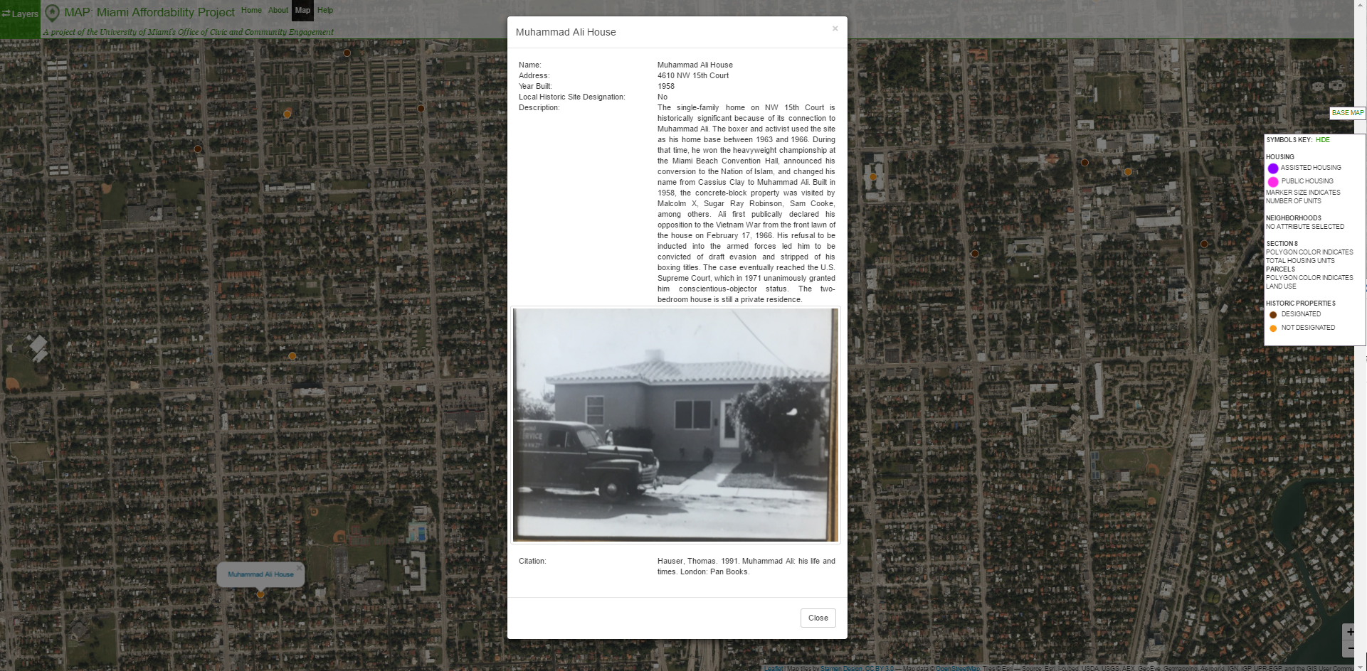
MAP also includes a Historic Layer that shows historically important properties in neighborhoods of color that have experienced displacement and loss of historical resources over time. The Historic Layer provides location information, period photographs, and detailed information outlining each individual property’s historical significance. In addition, CCE is expanding MAP to include both Broward and Palm Beach Counties so that regional-level data is accessible for planning purposes. Finally, CCE is working to incorporate flood data on MAP to address areas at risk and predict neighborhoods that could be threatened by climate gentrification.

CCE has worked in collaboration with the South Florida Community Development Coalition to conduct community-based trainings on how to use MAP to address local needs. Community organizers, housing advocates, Community Redevelopment Agencies, and grass-roots organizations from Liberty City, Overtown, Little Haiti, and Little Havana have worked with CCE to use the tool to develop community-development strategies to stave off displacement and gentrification. In addition, CCE is forging a partnership with New Tropic, a Miami-based digital media company, to feature different elements of the tool and crowdsource queries from the public so we can showcase how different filters in MAP can be used to address a variety of housing questions and policy and planning strategies. In these ways, MAP fosters collaborative planning and provides innovative tools for public engagement to foster greater equity and inclusion in the community development process.

